 |
 |
 |
 |
|
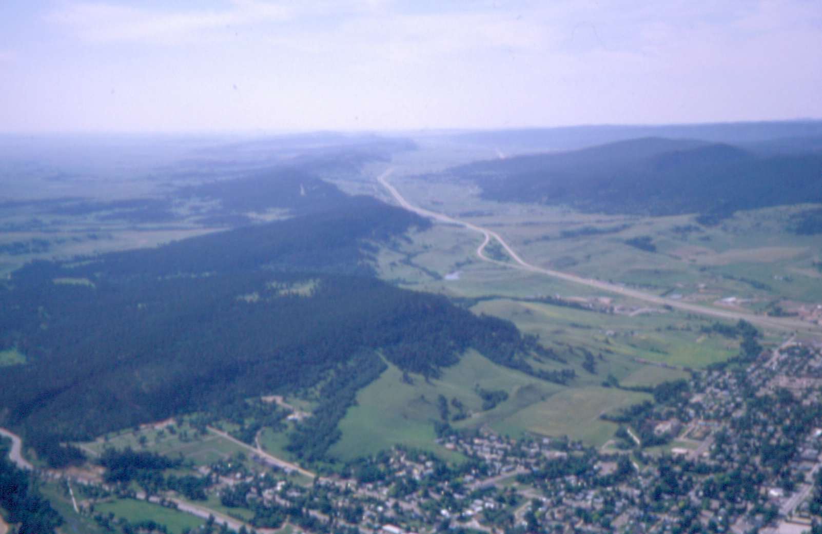
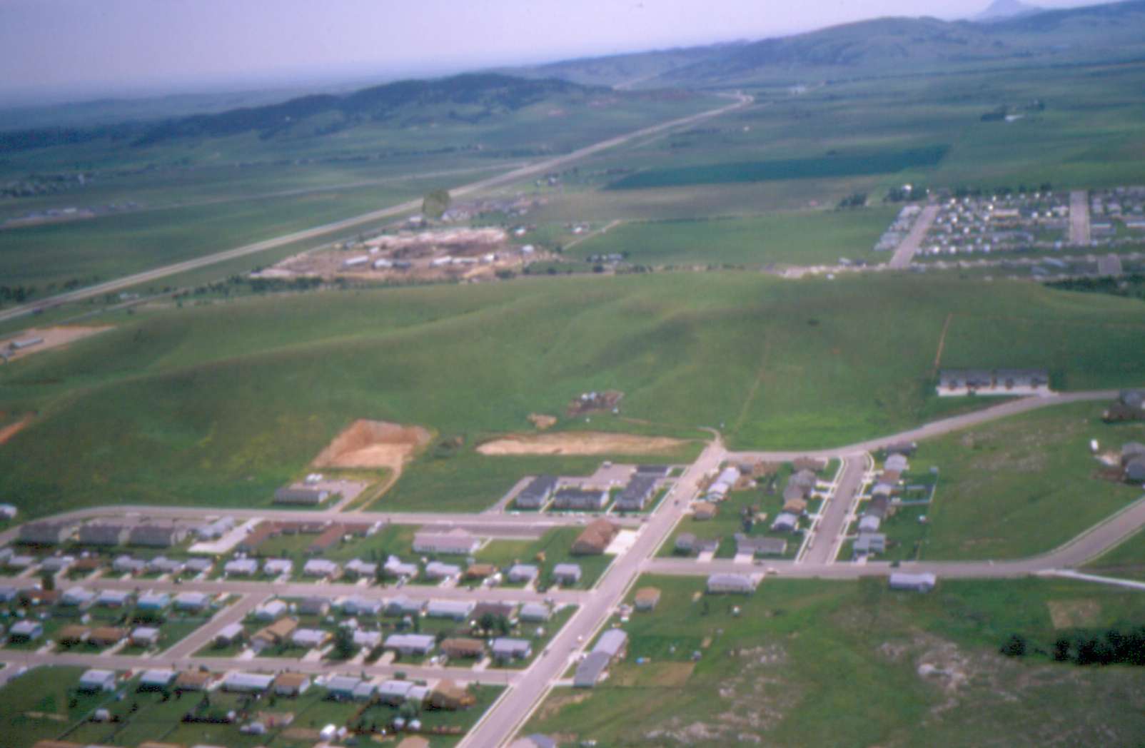
White = Strugis, Pink = Rapid 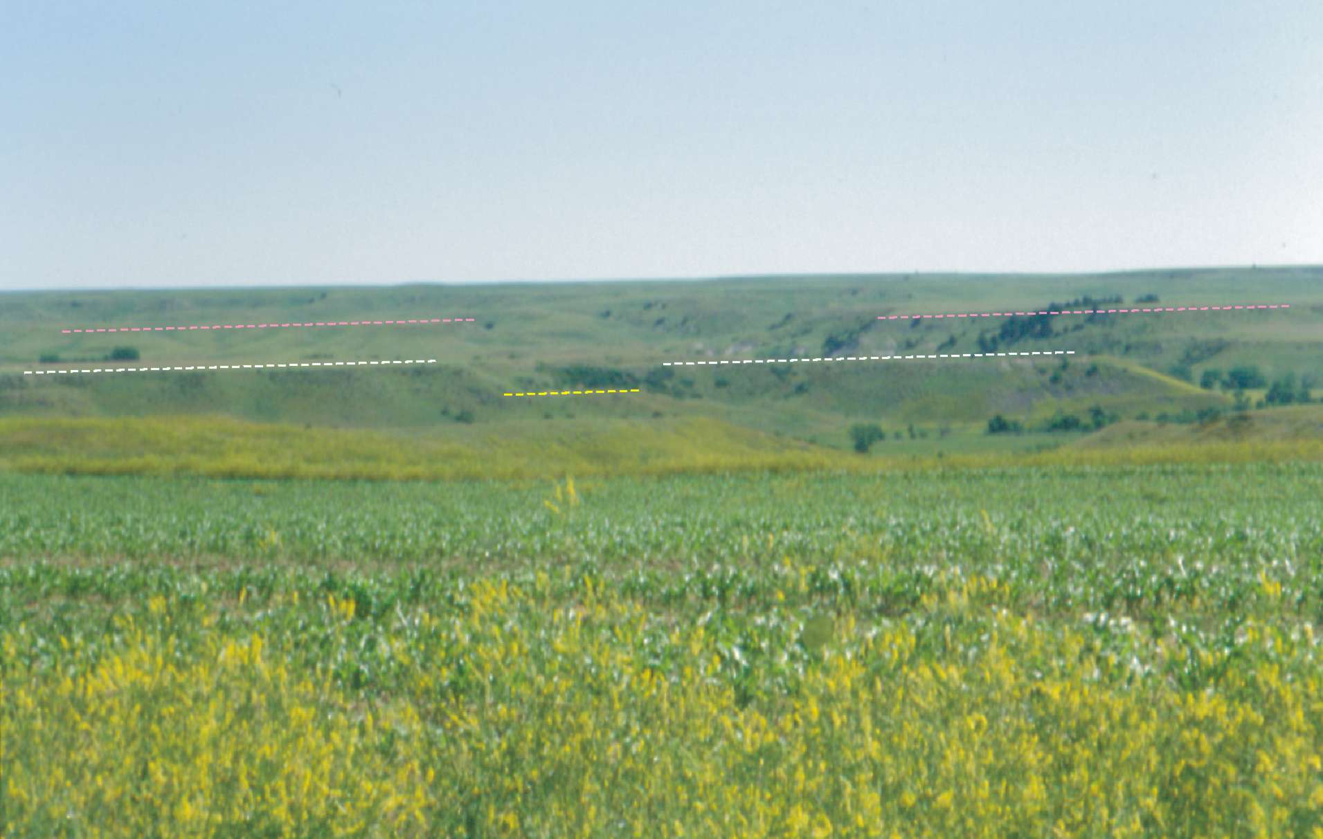 |
 |
 |
 |
 |
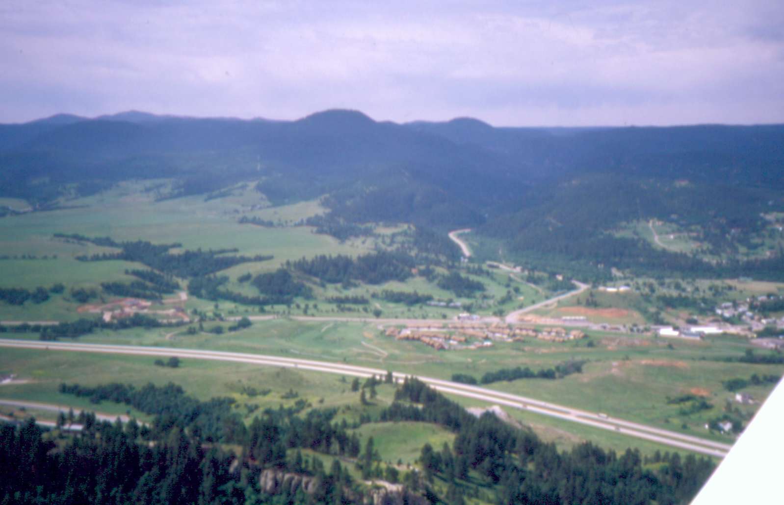 |
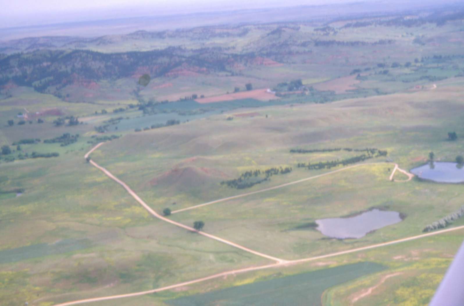
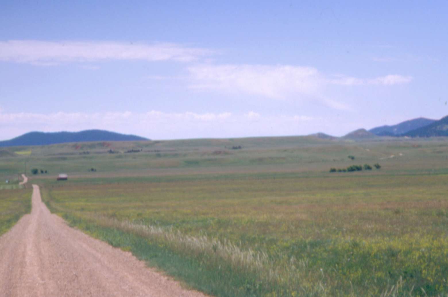
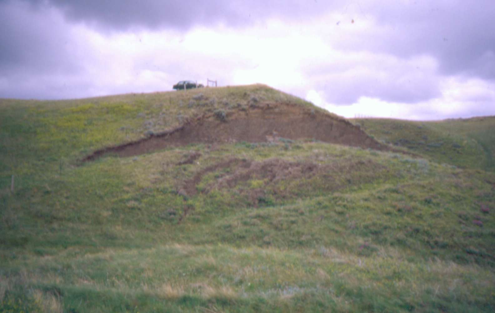
Centennial
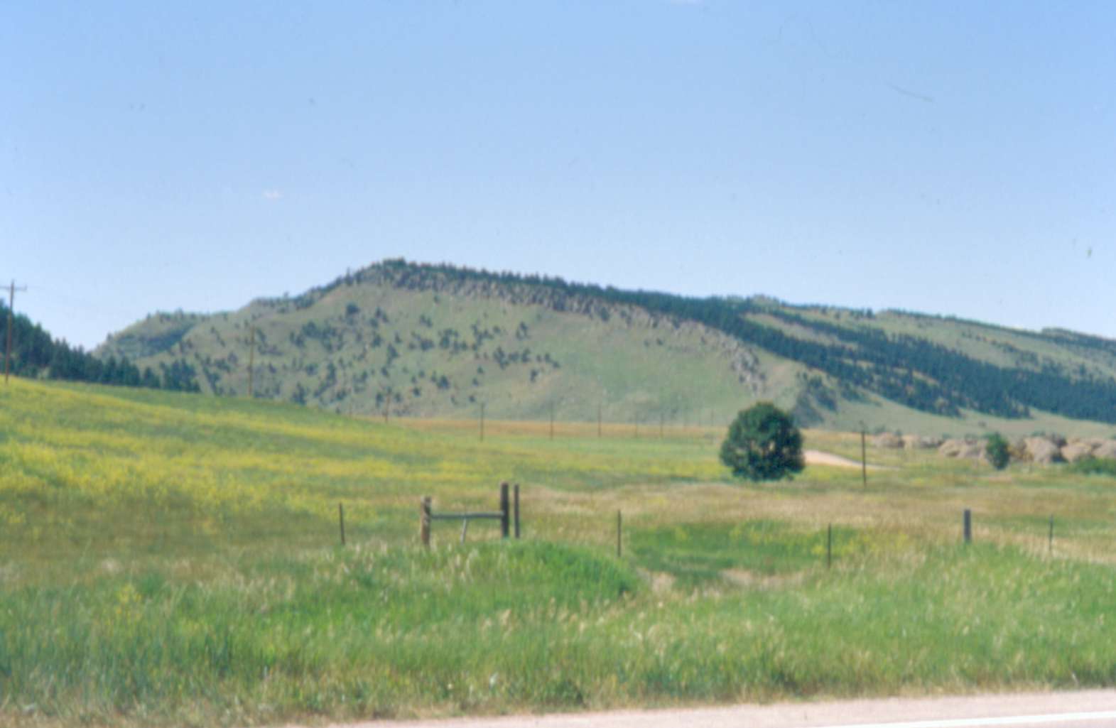
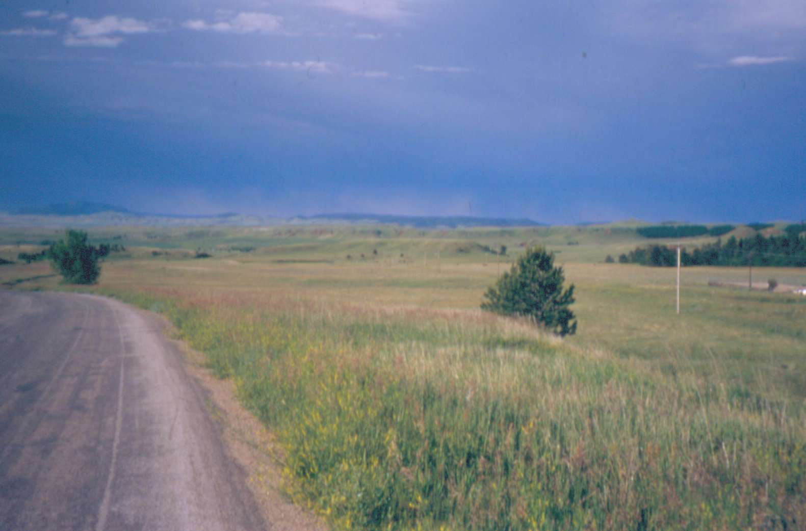
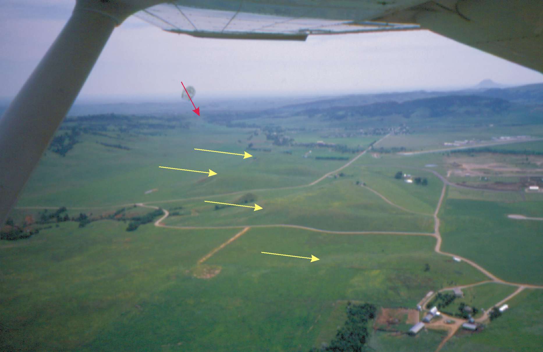
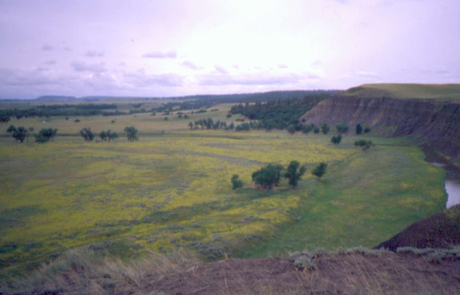
Prairie east of Spearfish, SD. Note hogback ridge on left |
 |
 |
 |
 |
 |
|
1. A full color copy of the lab exercise in both PDF and CorelDraw (.cdr) formats 2. A full color copy of the teacher's guide in both PDF and CorelDraw formats 3. Some color photos of the locations described in the lab This lab can be downloaded and modified as any instructor sees fit. Any questions? E-mail me at bjzaprowski@salisbury.edu |
|
FOR LAB EXERCISE IN .CDR FORMAT, CLICK HERE |
|
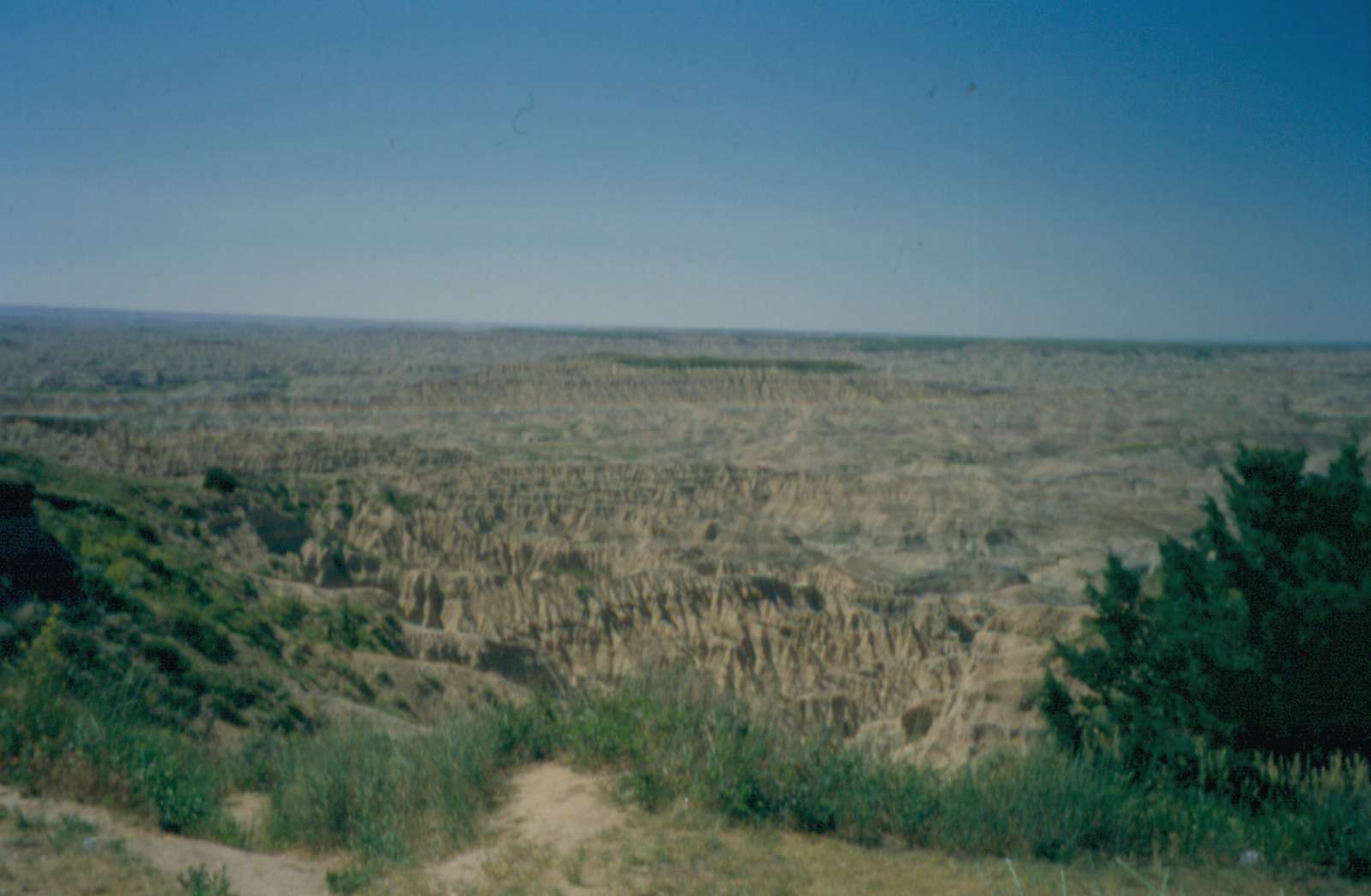
Click on the thumbnails to see enlarged, labelled, high quality images |
|
|
|
|
|
|
White = Strugis, Pink = Rapid |
|
|
|
|
|
|
Centennial
Prairie east of Spearfish, SD. Note hogback ridge on left |
|
|
|
|
|
|